


15.5 km | 26 km-effort

User


FREE GPS app for hiking
 SityTrail
IGN / Geographical institutes
SityTrail World
The world is yours!
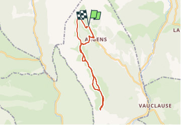
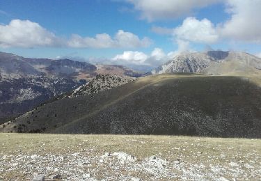
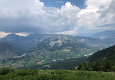
Trail Walking of 13.6 km to be discovered at Provence-Alpes-Côte d'Azur, Alpes-de-Haute-Provence, La Mure-Argens. This trail is proposed by Marchopier.
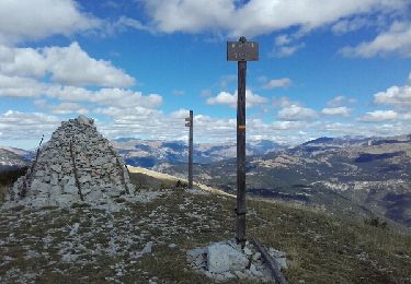
Du village d'Argens aller retour à la Montagne de Maurel


Walking
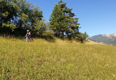
Mountain bike
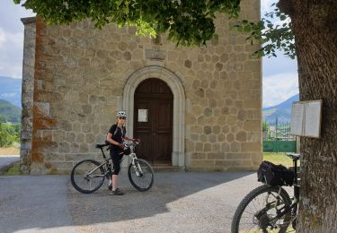
Mountain bike
Mountain bike
Mountain bike
Walking
Walking

Mountain bike
Motor